|
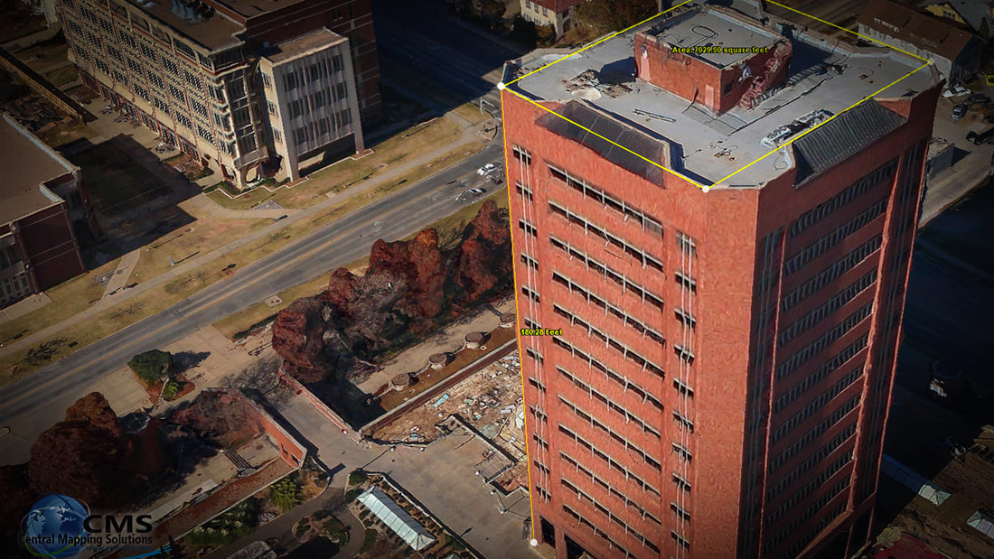
3D Smart City Models
"The True smart city adopters do not view the technology as an end point, but as a key enabler for concrete strategies to improve the efficiency of the urban realm" |
|
CENTRAL MAPPING SOLUTIONS
Aerial Photography and Mapping for Oklahoma - Texas - Kansas - New Mexico - Louisiana |
|
|
|
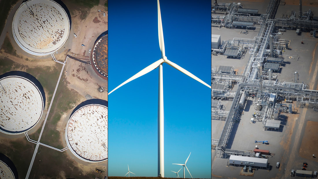
ADDITIONAL SERVICES INCLUDE


Remote Sensing
|

Digital Mapping
|

Custom Data Processing
|